Two more cold days and then warm air returns to the Edmonton region.
Northern and Eastern Alberta remain under Extreme Cold Warnings (wind chills in the -35 to -40 range this morning).
Most of those areas will also get a break from the coldest air on Sunday.
But, for Fort McMurray...that'll only mean a return to -10 for a day before dropping back to highs in the minus teens early next week.
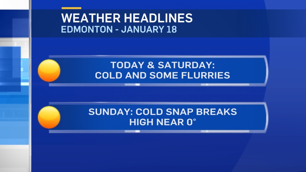
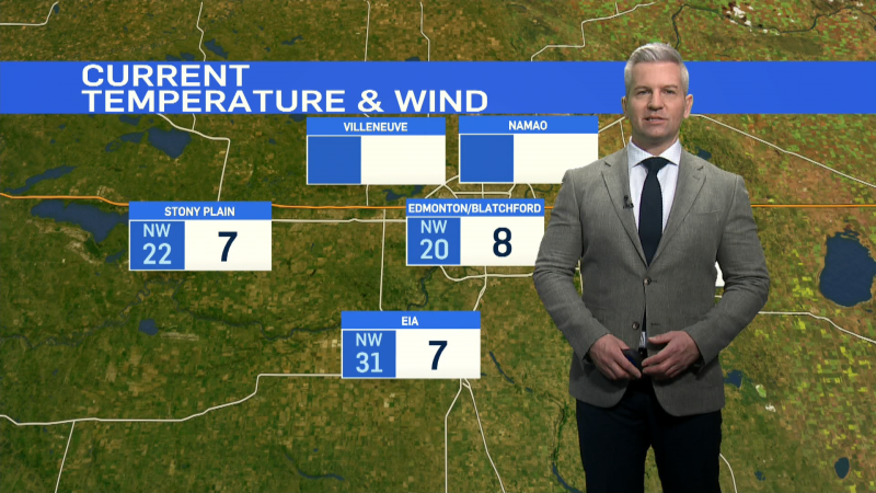
Edmonton holds steady in the -15 range today with a wind chill in the -20s.
A few flurries. But, no significant accumulation.
The Peace Country could get 2-5cm of snow today.
That region gets another shot of snow Saturday morning.
The Slave Lake/Athabasca areas and then Fort McMurray to Lloydminster regions could see 1-5cm of snow Saturday afternoon/evening.
While Edmonton has a CHANCE of some light snow Saturday. It doesn't look like it'll amount to much more than a cm or 3.
Temperatures in the Metro region jump back to around 0 Sunday.
We'll cool to highs near -5 Mon/Tue/Wed. THEN...near or above zero for the end of next week.
Here's the Edmonton forecast:
Today - Mostly cloudy. A few sunny & a few flurries.
Wind: 10-15km/h
Wind Chill: -20 to -25 range most of the day.
High: -14
Evening - Mostly cloudy. Wind easing.
9pm: -16
Saturday - Cloudy. 60% chance of snow. 1-3cm possible.
Wind: SE 20-30 in the morning. SE 15-20 in the afternoon.
Morning Low: -16
Afternoon High: -9
Temperature rising overnight.
Sunday - Mostly cloudy.
Morning: -7
Afternoon High: -1
Monday - Mix of sun & cloud.
Morning Low: -13
Afternoon High: -5
Tuesday - Mix of sun & cloud.
Morning Low: -11
Afternoon High: -3
Wednesday - Mix of sun & cloud.
Morning Low: -10
Afternoon High: -4
