Josh Classen's forecast: Time change AND weather change

Daylight time starts early Sunday morning (clocks "spring forward" one hour).
Warmer weather time starts this afternoon in Edmonton and across much of central and north-central Alberta.
(Note: Eastern areas will have to wait a bit longer to kick off the warm up.)
For Edmonton, this has been the coolest start to March since 2019 (not really THAT long ago).
We've only had one above-average daytime high in the first 10 days of the month.
AND...that above-average high came at 3 a.m. on March 7, so we didn't even get to enjoy it.
The long-term average high for the first ten days of March is -1 C and the low is -10 C.
In 2022, we averaged a high of -4 C and a low of -13 C.
For comparison, those numbers were 6 C and -8 C for the same period last year.
Now...it's not like we're suddenly going to be WAY above average.
But, daytime highs for most of the next 10 days should be in the 1 C to 6 C range.
(Average for that time frame is highs in the 1 C to 3 C range)
AND...we're done with the -15 C to -20 C morning lows. Mornings should be in the -4 C to -9 C range.
A low-pressure system sliding across northern Alberta will bring 2 to 6 cm of snow to the Peace Country, Slave Lake, Fort McMurray regions and areas north.
Lac La Biche/Cold Lake area will probably also see a bit of snow.
The Edmonton region might be a few occasional light flurries. But, no significant snowfall is expected today.
It's the warmer air being pushed in ahead of that system that'll headline the weather story today and tomorrow.
As we said yesterday, it's still chilly out there this morning.
But...we should get to around -6 C by noon and up around 0 by 6 p.m.
Sunny and a high in the 3 C to 6 C range in Edmonton tomorrow.
THEN...a bit of a step back.
An arctic high pressure system wants to drop in from the north.
Meanwhile, a low-pressure system coming in off the coast will be shoving moisture into the province.
We'll likely see a bit of an impact from both systems.
Cloudy with a good chance of snow (probably 2 to 5 cm for the Edmonton region) on Sunday.
AND...temperatures will be three or four degrees below zero for a daytime high.
But, that's just a blip. We're back to a high near zero Monday and above zero for highs the rest of next week.
Here's the forecast for Edmonton:
Today - Cloudy with a few sunny breaks. Risk of a few scattered flurries.
Noon: -6
3pm: -2
6pm: 0
Tonight - Mostly cloudy in the evening. Clearing overnight.
9pm: 0
Saturday - Mainly sunny.
Morning Low: -2
Afternoon High: 4
Daylight Saving Time Begins
Clocks "spring forward" one hour
Sunday - Cloudy. 60% chance of snow.
Morning Low: -7
Afternoon High: -4
Monday - 30% chance of light snow in the morning. Clearing in the afternoon.
Morning Low: -9
Afternoon High: 0
Tuesday - Mix of sun & cloud.
Morning Low: -7
Afternoon High: 3
Wednesday - Partly cloudy.
Morning Low: -5
Afternoon High: 4
CTVNews.ca Top Stories
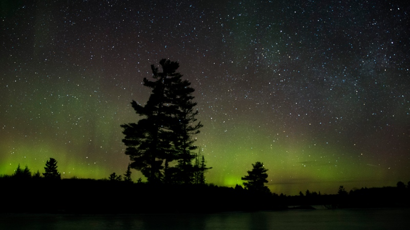
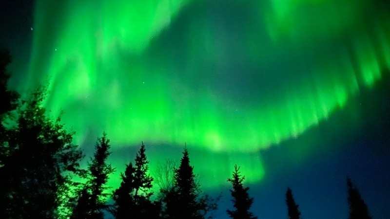
Spectacular aurora light show to be seen across Canada Friday night
A rare and severe solar storm is expected to bring spectacular displays of the northern lights, also known as aurora borealis, across much of Canada and parts of the United States on Friday night.
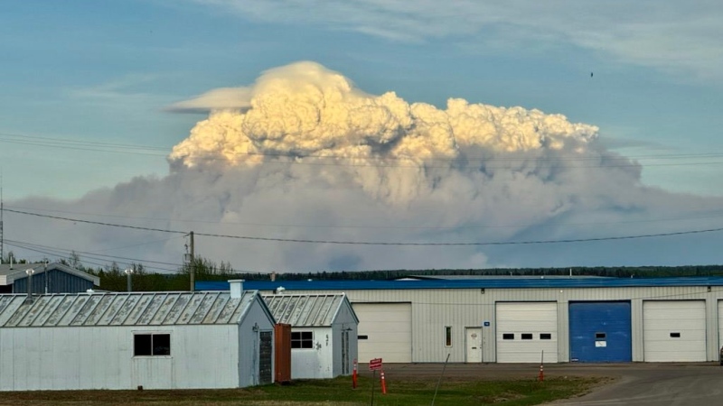
Town of Fort Nelson, B.C., ordered to evacuate due to wildfire
The entire town of Fort Nelson, B.C., as well as the nearby Fort Nelson First Nation, has been ordered to evacuate due to an out-of-control wildfire.
Snowbirds in Vancouver for puck-drop flyby as Canucks face Oilers
The Canadian Forces Snowbirds will be performing a flyover across downtown Vancouver at the start of tonight's Stanley Cup playoff game between the Canucks and the Edmonton Oilers.
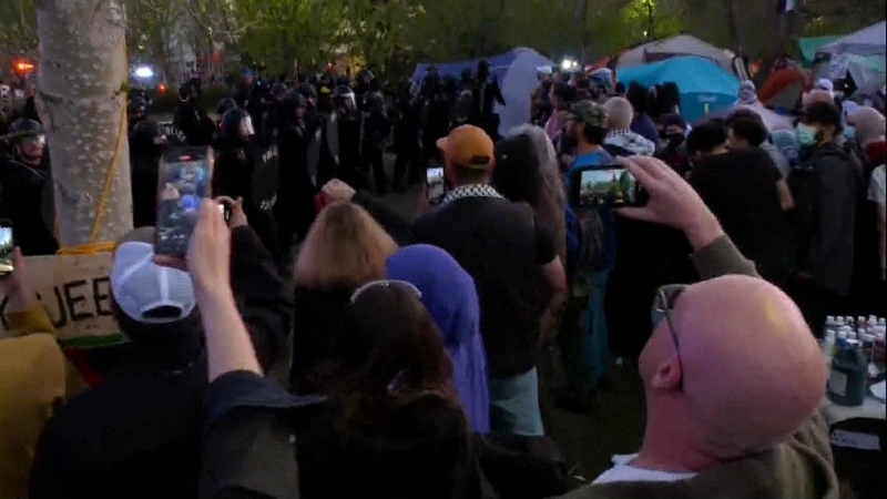
McGill University seeks emergency injunction to dismantle pro-Palestinian encampment
McGill University has filed a request for an injunction to have the pro-Palestinian encampment removed from its campus.
Which Canadian cities have the highest and lowest grocery prices?
Where you live plays a big factor in what you pay at the grocery store. And while it's no secret the same item may have a different price depending on the store, city or province, we wanted to see just how big the differences are, and why.
Swarm of 20,000 bees gather around woman’s car west of Toronto
A swarm of roughly 20,000 bees gathered around a woman’s car in the parking lot of Burlington Centre.
Video shows naked raccoon catching B.C. family by surprise
When Marvin Henschel spotted a strange and hairless creature wandering through a front lawn in B.C.'s Lower Mainland, he could barely believe his eyes.
Barron Trump declines to serve as an RNC delegate
Former U.S. President Donald Trump's youngest son, Barron Trump, has declined to serve as a delegate at this summer’s Republican National Convention, according to a senior Trump campaign adviser and a statement from Melania Trump's office.
Out-of-control wildfire prompts evacuation alert for Fort McMurray, Saprae Creek Estates Friday night
An evacuation alert was issued for two Wood Buffalo communities Friday night, as crews battled an out-of-control wildfire near Fort McMurray.


