Snowfall WARNINGs are in effect across Western Alberta from Grande Prairie south through Calgary & on to the US border.
You can take a closer look at that warning zone on the CTV Edmonton weather app.
We also have a Fog Advisory in effect from just east of Edmonton all the way to the Saskatchewan border.
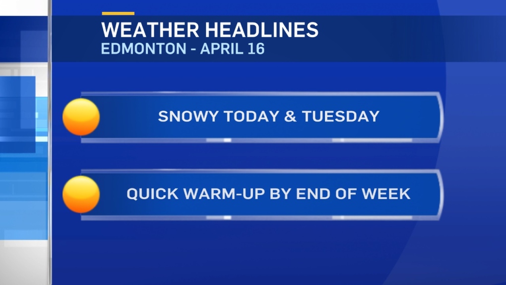
10-20cm of snow is expected in the warning region today & Tuesday.
The heaviest of that snow is expected through the foothills & mountain parks.
Edmonton and area WILL get snow. The question is: how much accumulates?
We could get 10-20mm of moisture. But, the thinking is that this probably won't be the typical 10:1 ratio.
There will be some melting before accumulation starts and roads are likely to see less accumulation than areas that still have some snow cover.
So...snow will fall today and we get some flurries on Tuesday.
The heaviest periods of snow will likely be this afternoon.
As for accumulation - expect about 5-10cm in and around Edmonton.
Temperatures settle in the 2-5 degree range for daytime highs today and Tuesday.
Then...we climb into the 5-10 degree range for Wed/Thu.
Speaking of temperatures:
The streak ended at 168 days.
Temperatures stayed JUST above zero Sunday morning. The low temperature was 0.2 degrees.
So, our record-setting stretch of consecutive days with a sub-zero temperature is over.
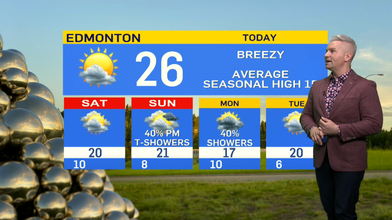
Here's the Edmonton forecast:
Today - Cloudy with periods of snow this afternoon. 3-7cm expected.
Wind: NE 15-30km/h
High: 3
Evening - Cloudy with periods of snow. 2-3cm expected.
9pm: 1
Tuesday - Cloudy with flurries/light snow.
Morning Low: -1
Afternoon High: 3
Wednesday - Partly cloudy.
Morning Low: -5
Afternoon High: 6
Thursday - Mainly sunny.
Morning Low: -1
Afternoon High: 9
Friday - Partly cloudy.
Morning Low: 1
Afternoon High: 11
Saturday - Mostly cloudy. 60% chance of showers.
Morning Low: 1
Afternoon High: 12
