A Snowfall WARNING is in effect for areas from Grande Prairie/Slave Lake/Cold Lake south to Highway 16.
10-15cm of snow is possible for areas within that warning zone. However, many spots may get less than 10cm.
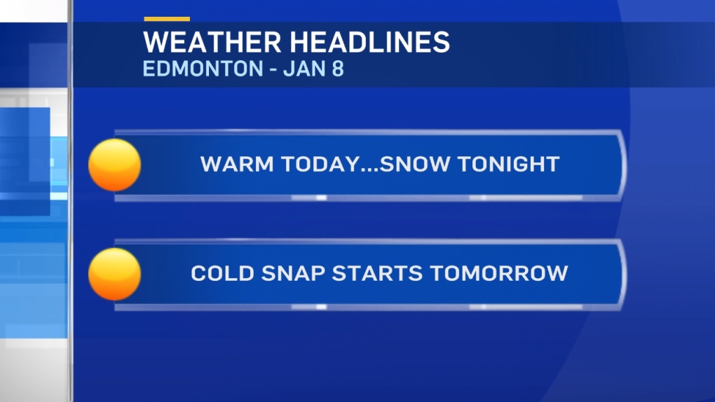
The bulk of the snow will fall tonight. So, don't be surprised if you leave work today & there isn't much fresh snow on the ground.
By tomorrow morning, there should be a nice blanket of several cm of snow and Tuesday's morning commute will likely be affected.
Blowing snow may also be an issue Tuesday. Wind is expected to be in the 20-30km/h range with some gusts.
That'll also generate some nasty wind chills Tuesday afternoon as temperatures start to tumble.
Regardless of whether or not your neighbourhood gets 5cm or 15cm, it WILL get a lot colder after the snow falls.
Arctic air drops in and daytime highs will be in the mid teens to -20s across Central and Northern Alberta by mid-week.
That cold snap should linger into the weekend and then break by Sunday or early next week.
Here's the Edmonton forecast:
Today - Cloudy with sunny breaks.
High: 1
Evening - Cloudy with snow. 3-7cm possible overnight.
9pm: -4
Tuesday - Cloudy with snow. 2-5cm possible in the morning. Tapering off to flurries in the afternoon.
Temperature falling & wind: N 20-30km/h
Morning: -9
Afternoon: -15
Wednesday - Mostly cloudy.
Morning Low: -22
Afternoon High: -20
Thursday - Mix of sun & cloud.
Morning Low: -26
Afternoon High: -21
Friday - Mix of sun & cloud.
Morning Low: -24
Afternoon High: -20
Saturday - Partly cloudy.
Morning Low: -24
Afternoon High: -15
