EDMONTON -- Thunderstorms hammered Edmonton and surrounding areas early Thursday evening as they made their way northeast.
Environment and Climate Change Canada issued a severe thunderstorm warning for the city and surrounding regions on Thursday until about 6:30 p.m.
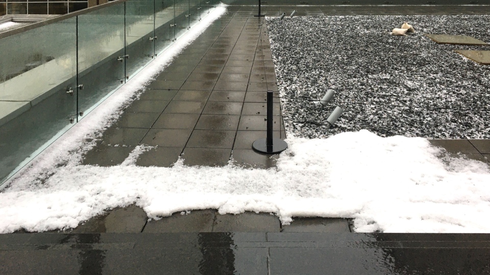
The storm dropped hail, from pea to dime sized, in many parts of the city and sent frequent lightning and thunder throughout the region.
CTV Edmonton weather stations around the city reported 15 to 30 millimetres of rain, although Meteorologist Josh Classen said it was likely other parts of the city received significantly more.
In downtown Edmonton, Rogers Place reported "some water damage" to Ford Hall and other "leaks" throughout the building.
Road crews were also on Whitemud Drive, which was closed to traffic in both directions at Calgary Trail. There appeared to be a shattered manhole.
The storms moved into the area around 4:30 p.m. and were gone shortly after 7 p.m.
TORNADO WATCH ISSUED FOR SOUTH OF EDMONTON
A tornado watch was issued for the Leduc-Camrose-Wetaskiwin regions. Storms moving into that area had the potential to produce a tornado early Thursday evening as storms move through the area.
Edmonton was not under that watch and the worst of the storms had moved through eastern parts of the Edmonton metro region at 5:45 p.m.
Classen said the risk of severe storms will continue for southern and eastern parts of the area until about 7 p.m. Showers behind the storms may continue until about 9 p.m.
Classen said western parts of the region would clear out earlier than eastern areas.
A tornado watch remained in effect for the Red Deer and Drumheller regions until about 9 p.m., where storms also had the potential to develop a tornado.
The storms were expected to bring heavy downpours, strong wind and hail.


 celebra")


