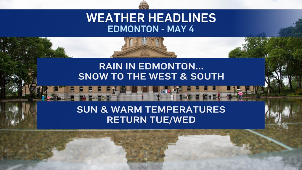
EDMONTON -- Steady rain over the Edmonton area will taper off to occasional showers through the day.
Our network of weather stations scattered around the city are reporting 20-30 mm of rain in the past 24 hours.
The official Environment Canada weather stations look like they've recorded less than that.
Another 3-8 mm is possible by the end of this afternoon.
That rain has flipped to snow in areas west and south of Edmonton.
But, because the precipitation is moving from east to west, it's not expected to push towards the city.
Cameras on the QE2 overpass near Leduc are showing some snow on the ground.
South of the Wetaskiwin turnoff - ditches are wet, not white.
Looking west, several centimetres of snow is on the ground from near Lake Wabamun to Edson.
511 is also reporting snow-covered roads between Pigeon Lake and Alder Flats and from Breton south to Rimbey.
A snowfall warning is in effect for a LARGE area west and south of Edmonton.
Most of that zone WILL get some accumulation, some spots could pick up 10-15 cm.
However, most areas within that warning zone will not see 10+ .
Temperatures climb to around 10 degrees in Edmonton this afternoon.
Sun and warmer weather returns for Tue/Wed with highs in the mid to upper teens.
HERE'S THE FORECAST FOR EDMONTON:
- Today – Cloudy with occasional showers.
- High: 10
- Tonight - Clearing overnight.
- 9pm: 6
- Tuesday - Mix of sun & cloud.
- Morning Low: 2
- Afternoon High: 17
- Wednesday - Partly cloudy.
- Morning Low: 3
- Afternoon High: 19
- Thursday - Mostly cloudy.
- Morning Low: 6
- Afternoon High: 18
- Friday - Mix of sun & cloud.
- Morning Low: 6
- Afternoon High: 15
- Saturday - Partly cloudy.
- Morning Low: 4
- Afternoon High: 13
