A strong upper ridge of high pressure continues to settle in.
The eastern edge of that ridge extends from northern Alberta SE into southern Saskatchewan.
We have some clouds along the jetstream in N & E Alta and much of central & eastern Alberta will be partly cloudy through the day today.
BUT...as that ridge inches it's way east over the next few days it'll produce clear, warm & calm conditions across most of the province.
We've had a bit of patchy frost in parts of Ctl Alta this morning. Most areas are staying above zero, but a couple spots have slipped a degree or 2 below freezing.
There's a risk of some patchy frost again early Thursday morning.
However (as I mentioned in the WxBlast video & on the news yesterday) if you're in the city...you'll be spared the frost.
Temperatures will stay well above zero in Edmonton the next few nights.
Looking LONG Range: the question at this point is - "When will the upper ridge break down?"
The latest GFSx Model has it sticking around until either Thur or Fri of next week.
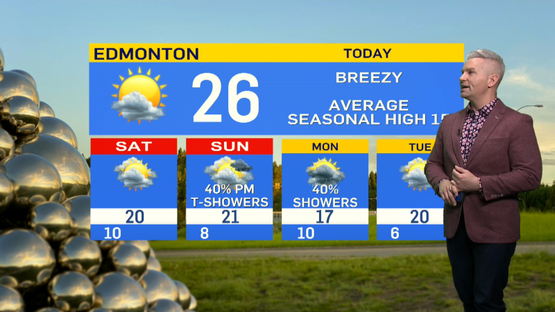
Forecast looks like this:
Today - Partly cloudy.
High: 22
Tonight - A few clouds.
Low: 7
Thu - Mainly sunny.
High: 22
Fri - Mainly sunny.
High: 24
Sat - Mainly sunny.
High: 25
Sun - Mainly sunny.
High: 24
Mon - Mainly sunny.
High: 24
