EDMONTON -- The low pressure system that brought some wet snow to parts of central and north-central AB overnight will move out of eastern AB and into SK this morning.
Edmonton and area has been clearing through the early morning hours and should be sunny for much of today.
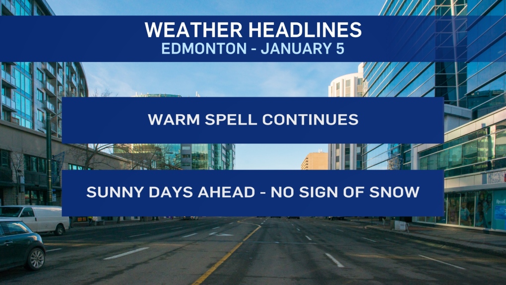
In fact, we'll get a string of sunny days with temperatures continuing to be well above average.
The long-term average high and low are -7 and -15.
We'll get a degree or two above zero today and then up to a high near 5 degrees Wednesday.
That's WAY above average. But, no records.
The all-time record high for Jan 5th is 8 degrees (set in 1903).
The 20-year record high of Jan 5th is 6 (set in 2006).
Last year - we had a high of 2 degrees on January 5th.
So...yes we're above the seasonal averages. But, it isn't RARE to have warm days in early January in Edmonton.
In case you're wondering, the records for Jan 6 (tomorrow) are...
All-time: 9 (1963)
20-year: 6 (2002)
Precipitation Outlook - Still no sign of any significant snowfall for central and north-central Alberta over the next few days.
And... even the long-term outlook for next week is shaping up dry and warm.
We will likely get past mid-month without much (if any) new snow in the Edmonton area.
HERE'S THE FORECAST FOR EDMONTON:
- Today - Sunny with a few clouds.
- High: 2
- Tonight - A few clouds overnight.
- 9pm: -5
- Temperature steady or rising slightly overnight.
- Wednesday - A few clouds early in the morning. Then...sunny.
- Morning: -3
- Afternoon High: 5
- Thursday - Mainly sunny.
- Morning Low: -8
- Afternoon High: 0
- Friday - Mainly sunny.
- Morning Low: -9
- Afternoon High: 2
- Saturday - Mainly sunny.
- Morning Low: -10
- Afternoon High: 1
- Sunday - Partly cloudy.
- Morning Low: -12
- Afternoon High: -2
