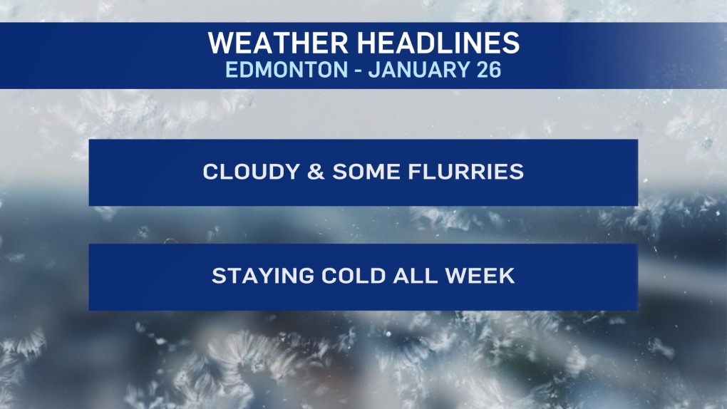
EDMONTON -- Arctic air and cloudy skies will continue to dominate the weather pattern in Edmonton and area today and Wednesday.
There's a bit of a change to the pattern Thu/Fri with some sun in the forecast. But, the colder-than-average temperatures will stick around.
We're likely in the -12 to -16 range for daytime highs right through to early next week.
Morning temperatures will be a bit milder tomorrow and then in the -20s for Thu/Fri/Sat/Sun.
Light flurries today and again late Wednesday probably won't amount to much more than 1-2 cm.
But, at least we're getting SOME snow to go along with the wintry temperatures.
Wind is expected to be 10-15 km/h for much of today and tomorrow. So, wind chill won't be a HUGE factor.
But, if you're spending extended periods of time outside, it'll be FEELING about 5 to 10 degrees colder than it reads on thermometers.
There's some thought that we might see a moderation in temperatures by this weekend.
While that's possible, I think we're probably not back to the -5 range (average) until the middle of next week.
HERE'S THE FORECAST FOR EDMONTON:
- Today - Cloudy with a few flurries.
- Wind: E 10-15 km/h
- High: -16
- Tonight - Cloudy.
- 9pm: -17
- Wednesday - Cloudy. 60% chance of flurries in the afternoon/evening.
- Wind: E 10-15 km/h
- Morning Low: -15
- Afternoon High: -13
- Thursday - Mix of sun & cloud.
- Morning Low: -20
- Afternoon High: -16
- Friday - Partly cloudy.
- Morning Low: -21
- Afternoon High: -15
- Saturday - Mainly sunny.
- Morning Low: -23
- Afternoon High: -16
- Sunday - Mainly sunny.
- Morning Low: -22
- Afternoon High: -14


