EDMONTON -- Flurries in the Edmonton area this morning will push north and we'll be left under mostly cloudy skies for much of today.
Temperatures will climb close to zero this afternoon. But, it'll be breezy with 15-20 km/h wind and occasional gusts to 30.
We'll hover near zero through this evening and then cool to a high near -3 Wednesday.
Heavy snow will hit northern Alberta today and Wednesday with the High Level and Fort Chipewyan regions getting 15-20 cm of snow.
Grande Prairie/Peace River/Slave Lake/Fort McMurray areas should get significantly less.
Edmonton gets another "chance" of seeing some snow Wed and Thu.
The Canadian GEM model wants to push some mixed precipitation or wet snow through the area Wednesday morning.
The RPM model keeps that risk of precipitation south of Edmonton.
A low pressure system sliding across southern Alberta Thursday gives the Edmonton region another shot at getting some snow.
But, most of the heavier snow looks like it'll be from Ponoka/Red Deer south through the Calgary area.
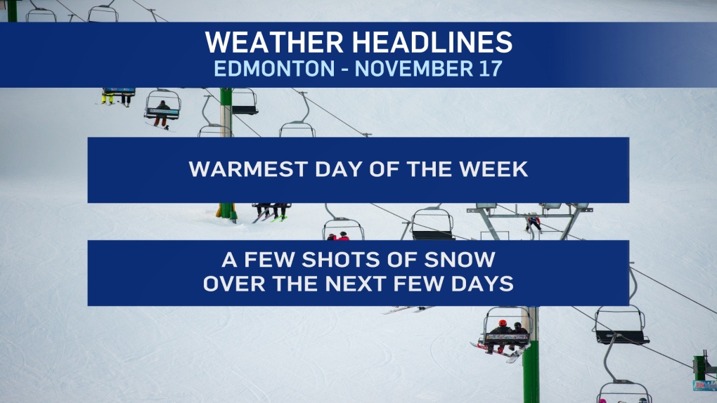
So, some small shots of snow over the next few days. But, the big story will be the temperature swing, not the snowfall.
Edmonton drops to afternoon highs near -10 Thu/Fri.
HERE'S THE FORECAST FOR EDMONTON:
- Today - A few flurries early this morning. Otherwise, mostly cloudy.
- Wind: SE 15-20 with gusts to 30 km/h late this morning and early this afternoon.
- High: 0
- Tonight - A bit of clearing overnight.
- 9pm: 0
- Wednesday - Mostly cloudy. 60% chance of snow in the morning.
- Morning Low: -6
- Afternoon High: -3
- Thursday - Cloudy. 40% chance of snow.
- Morning Low: -12
- Afternoon High: -10
- Friday - Mix of sun & cloud.,
- Morning Low: -17
- Afternoon High: -10
- Saturday - Partly cloudy.
- Morning Low: -12
- Afternoon High: -5
- Sunday - Mix of sun & cloud.
- Morning Low: -12
- Afternoon High: -5


