EDMONTON -- Rain continues to fall in parts of the Edmonton region this morning, especially off to the ENE.
Rainfall amounts within the city of Edmonton look to be in the 20-30 mm range.
Our CTV weather station in St. Albert recorded 48 mm of rain in the thunderstorms last night and the rain this morning.
Stony Plain is also reporting over 40 mm.
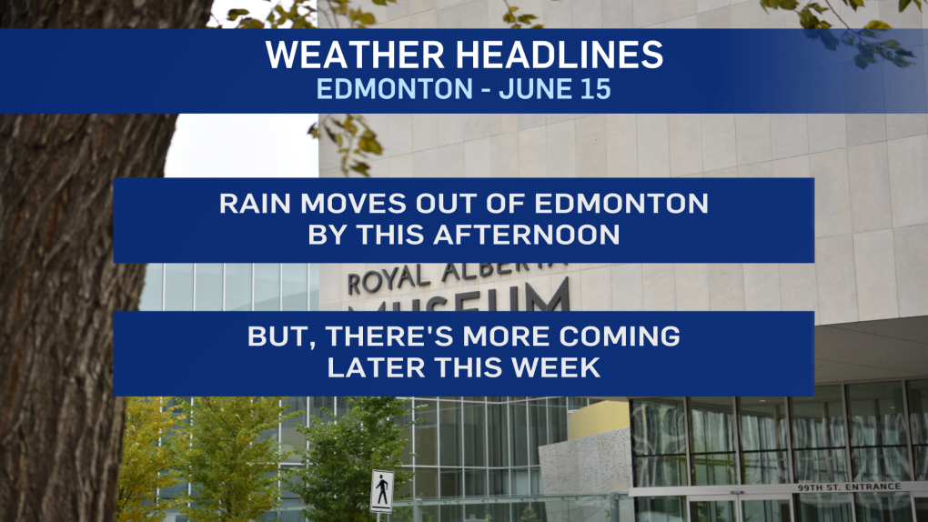
We'll see the precipitation move out of the Edmonton region midday and a few sunny breaks will open up this afternoon.
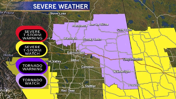
NE Alberta runs the highest risk of seeing some thunderstorms (mostly non-severe) through the afternoon hours today.
Funnel clouds are possible in the NE, with the risk of a touchdown being low.
We had similar cold-core funnels in the Gibbons/Bon Accord region Sunday evening.
Tuesday should be a dry day in the Edmonton region.
Then... back to some rain and/or thunderstorms Wednesday.
Temperatures stay on the cooler-than-average side for a few days. Highs in the 15 to 20 degree range in Edmonton.
By the end of the week, we should break out of that pattern and get back into the mid 20s.
HERE'S THE FORECAST FOR EDMONTON:
- Today – Showers in the area this morning.
- Cloudy with a few sunny breaks this afternoon.
- High: 19
- Tonight - Partly cloudy.
- 9pm: 15
- Tuesday - Partly cloudy. Increasing cloud in the evening/overnight.
- Morning Low: 9
- Afternoon High: 20
- Wednesday - Cloudy with a 70% chance of showers in the morning.
- Showers and/or thunderstorms developing later in the day.
- Morning Low: 12
- Afternoon High: 17
- Thursday - Showers or periods of rain in the morning.
- Mostly cloudy with a few sunny breaks in the afternoon.
- Morning Low: 10
- Afternoon High: 16
- Friday - Partly cloudy.
- Morning Low: 8
- Afternoon High: 20
- Saturday - Mainly sunny.
- Morning Low: 10
- Afternoon High: 24
